Every infrastructure project begins with a critical question: what’s underground? Too often, project teams rely on outdated records, incomplete drawings, and assumptions that transform routine installations into dangerous surprises and costly delays.
The stakes are higher than budget overruns. Inaccurate utility mapping leads to utility strikes that threaten worker safety, damage critical infrastructure, and disrupt essential services. Modern infrastructure planning demands comprehensive, GPS-accurate data that reflects real underground conditions.
The Planning Challenge: Too Much Data, Too Little Intelligence
Utilities and municipalities face a growing data management crisis. Millions of feet of inspection video sit unreviewed. Thousands of reports document observations and defects that need prioritization for rehabilitation. Critical assets require immediate attention, but identifying them requires sorting through overwhelming amounts of information.
Traditional approaches to utility mapping compound these challenges. Paper records may be decades old and inaccurate. As-built drawings don’t reflect system modifications over time. Multiple utility systems maintain separate databases that don’t communicate, creating information silos that compromise both planning accuracy and emergency response.
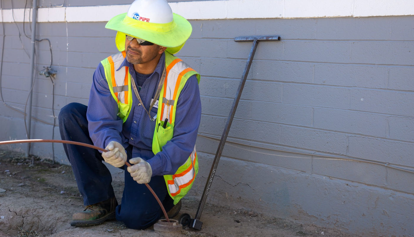
The Sewer System Mapping Complexity
Sewer system mapping presents unique difficulties. Underground networks can’t be visually verified without excavation or inspection. Manholes provide access points, but the connections, conditions, and precise locations between access points often remain unknown.
Engineering firms planning new installations struggle to design around utilities they can’t accurately locate. Contractors face the impossible task of avoiding conflicts with infrastructure that may not be where records indicate. The result: utility strikes, project delays, and safety incidents that comprehensive mapping could prevent.
GIS Integration: Transforming Data Into Intelligence
Geographic Information Systems (GIS) integration for utilities solves the fundamental problem of scattered, unusable data. Instead of reviewing millions of feet of video manually or sorting through thousands of individual reports, integrated GIS platforms transform inspection data into actionable intelligence.
Seamless Data Integration
Modern utility mapping leverages advanced inspection technologies combined with powerful GIS software to eliminate the time-consuming manual processes that bog down infrastructure planning. High-definition scans and conventional CCTV observations integrate directly into pipeline mapping software, enabling instant access to critical information.
This integration allows utilities and engineers to select specific geographic observation layers, query quantities for immediate decision-making, and prioritize rehabilitation projects based on actual system conditions rather than assumptions. What once required thousands of hours of manual sorting now happens automatically through intelligent data integration.
Comprehensive Asset Documentation
GIS integration for utilities captures more than just pipe locations. Accurate positioning of connections, observations, defects, and pipe ratings creates comprehensive databases that support strategic infrastructure planning. Pipe slopes, invert elevations, and other critical specifications integrate seamlessly, providing the detailed information that modern utility management requires.
Shape files and geo-databases deliver this information in formats that work with existing municipal and engineering software systems, ensuring that accurate utility mapping becomes part of routine planning processes rather than a separate, disconnected activity.
Preventing Utility Strikes Through Accurate Mapping
Utility strikes occur when crews don’t know what’s underground. Comprehensive sewer system mapping and GIS integration eliminate the guesswork that leads to dangerous encounters with buried infrastructure.
Accurate utility mapping provides the precise location data that keeps workers safe and projects on schedule. When excavation crews know exactly where utilities are located, they can work efficiently without the constant risk of striking unknown lines. Project managers can plan installations that avoid conflicts with existing infrastructure.
Cross-Bore Prevention
One of the most dangerous utility mapping challenges involves cross-bores, where new utility installations intersect existing sewer lines. These conditions create serious safety hazards, particularly when gas lines cross sewer systems. Comprehensive inspection and mapping services identify these dangerous situations before they threaten public safety.
Advanced inspection technologies combined with GPS-accurate mapping document not just where utilities are located, but how they interact with each other underground. This comprehensive view enables proactive identification and resolution of conflicts that traditional mapping methods might miss.
The Experience Advantage
Effective utility mapping demands expertise in data integration, system analysis, and practical application. Pro-Pipe brings extensive experience in GIS pipeline and utilities mapping, helping clients transform overwhelming data volumes into strategic advantages.
Our pipeline mapping services deliver cost savings through efficient data management, better decision-making through comprehensive information access, improved record keeping through integrated databases, and effective solutions that address real-world infrastructure challenges.
From routine maintenance planning to major capital projects, accurate utility mapping provides the foundation for successful infrastructure management. When you know what’s underground, you can plan, build, and maintain systems that serve communities safely and efficiently.
Your Next Steps
Modern infrastructure planning requires modern mapping solutions. Comprehensive GIS integration transforms scattered inspection data into actionable intelligence that prevents utility strikes, improves project outcomes, and supports strategic asset management.
Ready to transform your utility mapping capabilities? Contact our team to learn how our GIS integration services can eliminate the data management challenges that slow down your projects and compromise your planning accuracy.